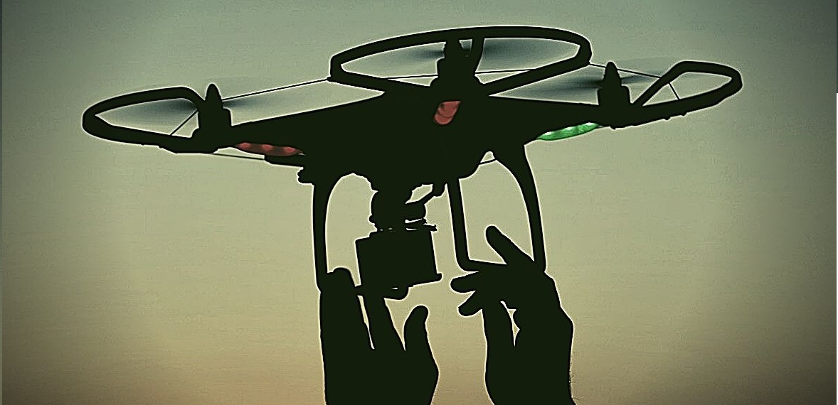
The use of drones is becoming day by day more usual in business and industrial activities. Before, only army had access to this technology, but now it is diffused in civil engineering field.
ENGEMASTER innovates in brazilian civil engineering market using this technology with effectiveness for the projects deliveries. Some fields we work using drones:
Aerophotogrammetry
Flight recordings
360˚ images
Topographical survey
Inspections and monitoring
3D Reconstruction